
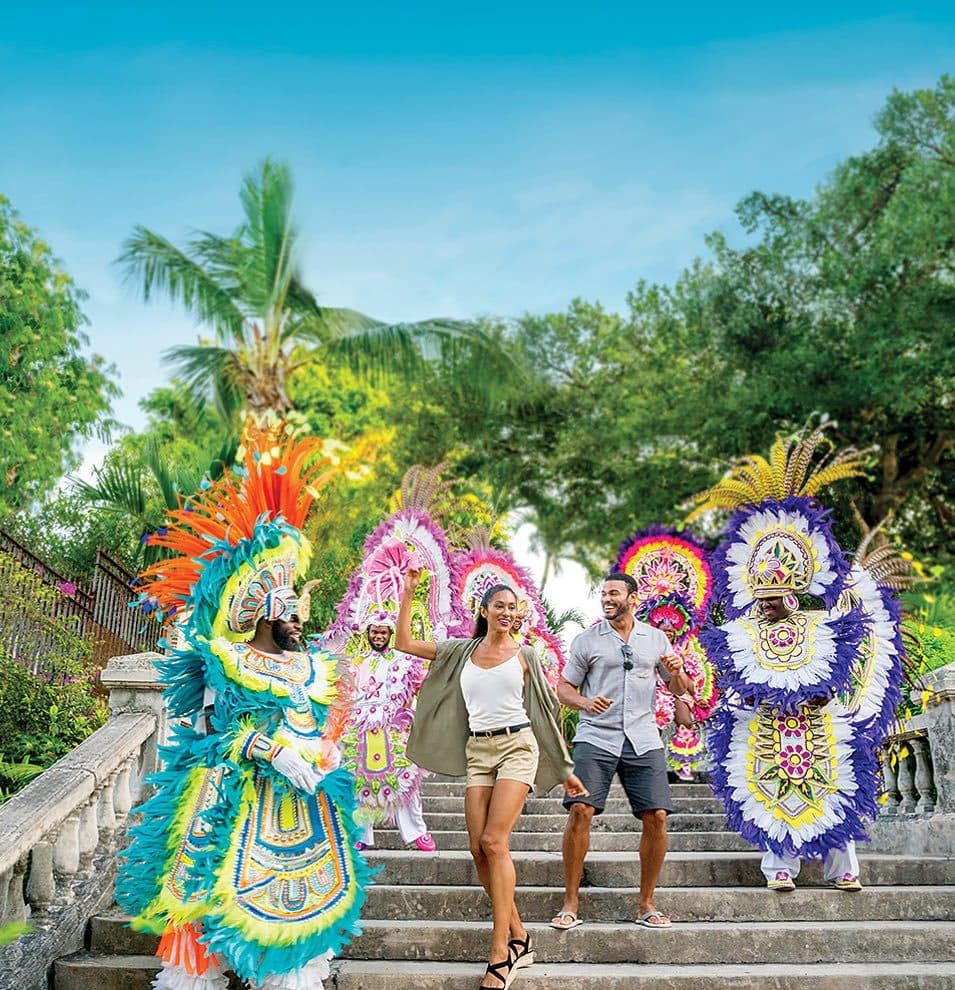
Nassau and New Providence
The capital and main gateway: colonial streets, Cable Beach, Junkanoo, and the easiest connections to every other island.
The Bahamas has about 700 islands and roughly 30 that are inhabited. Nine receive most visitors; the rest, known as the Out Islands, are quieter, more remote and in some cases barely visited at all. They differ in almost every way that matters: how you get there, where you sleep, what you do all day and how much it costs.
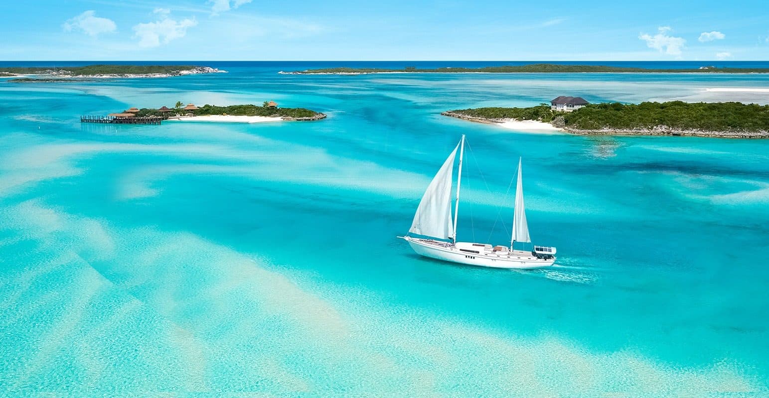
Where most visitors go, and where the airports, hotels, boats and services are concentrated.
The capital and main gateway: colonial streets, Cable Beach, Junkanoo, and the easiest connections to every other island.
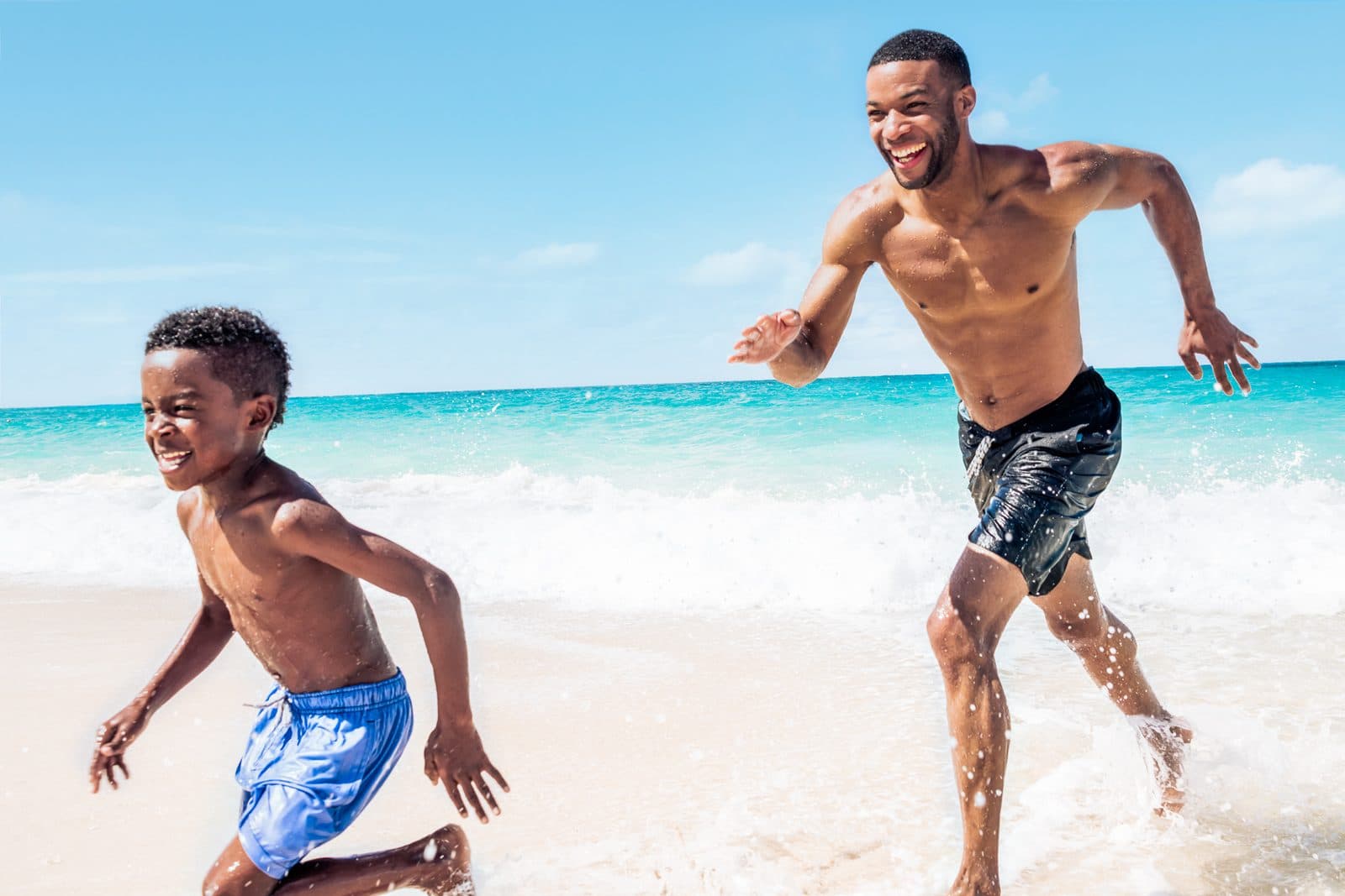
Resort island across the harbour from Nassau, home to Atlantis, Cabbage Beach and a cluster of restaurants, marinas and golf.
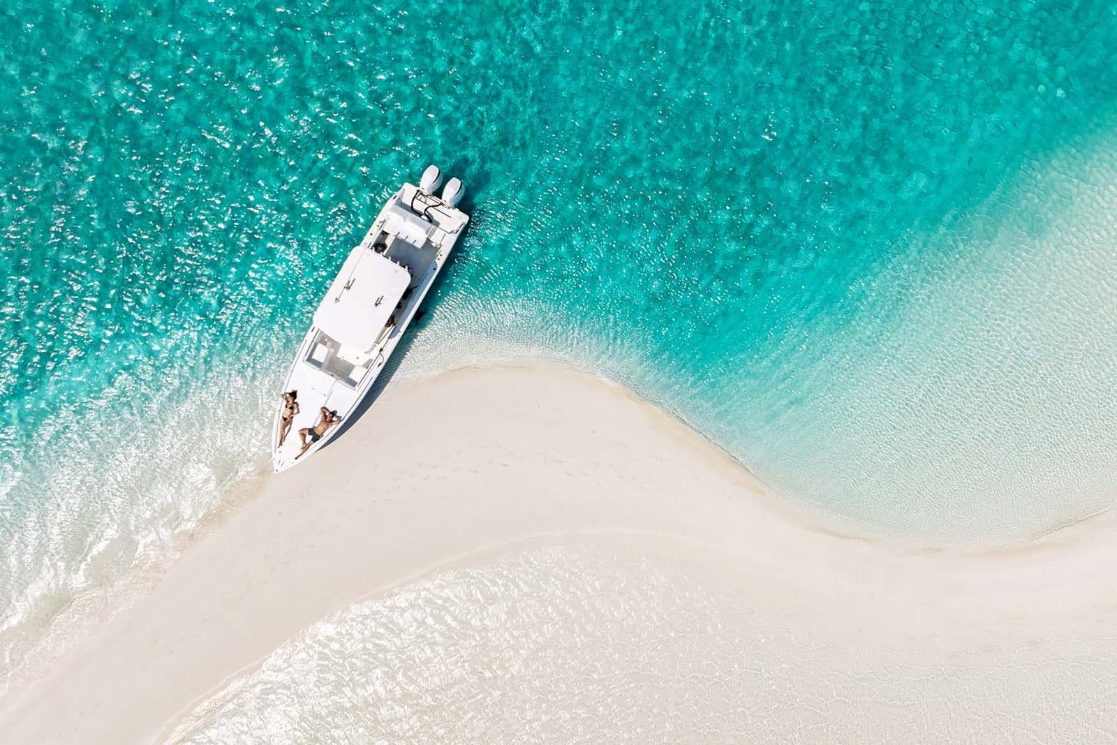
A 120-mile chain of 365 cays with the clearest water in the country, the swimming pigs, Thunderball Grotto and a protected land-and-sea park.
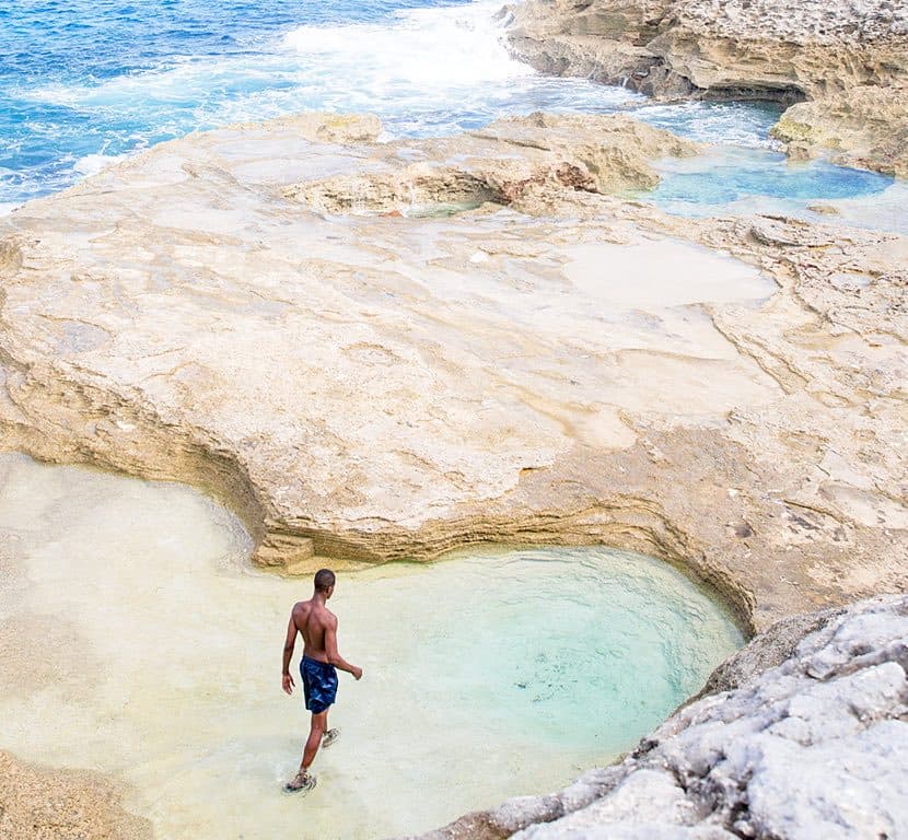
A long, thin island of pink-sand beaches, pineapple fields and small settlements, with the Glass Window Bridge where the Atlantic meets the bank.
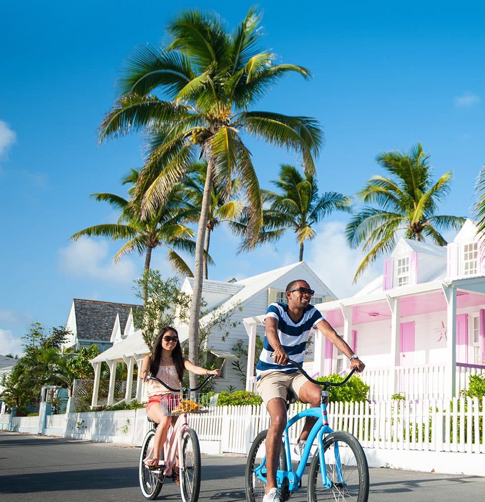
Three miles of pink-sand beach, pastel cottages in Dunmore Town and golf carts instead of cars, a short water taxi off Eleuthera's north end.
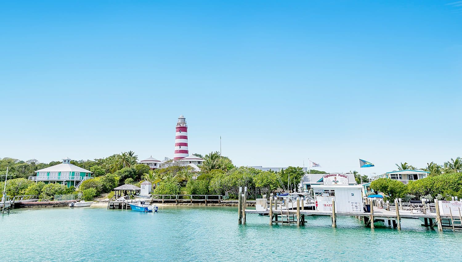
The sailing capital of The Bahamas: Marsh Harbour, the barrier cays of Hope Town, Man-O-War and Great Guana, and a sheltered sea in between.
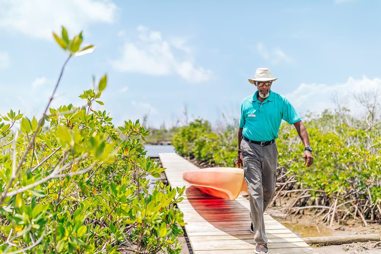
Freeport and Lucaya, the Lucayan National Park's caves and Gold Rock Beach, West End fishing villages, and the shortest flights from Florida.
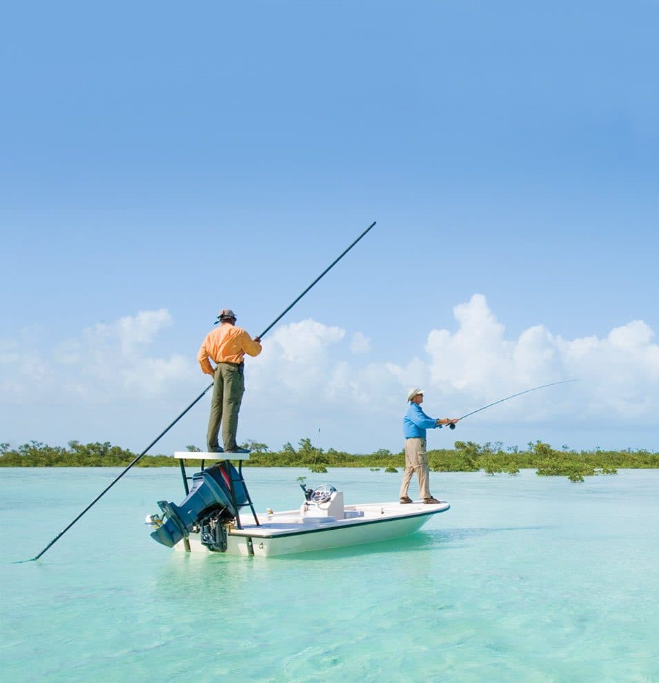
The largest and least developed island: a vast barrier reef, hundreds of blue holes, bonefishing flats and the Tongue of the Ocean.
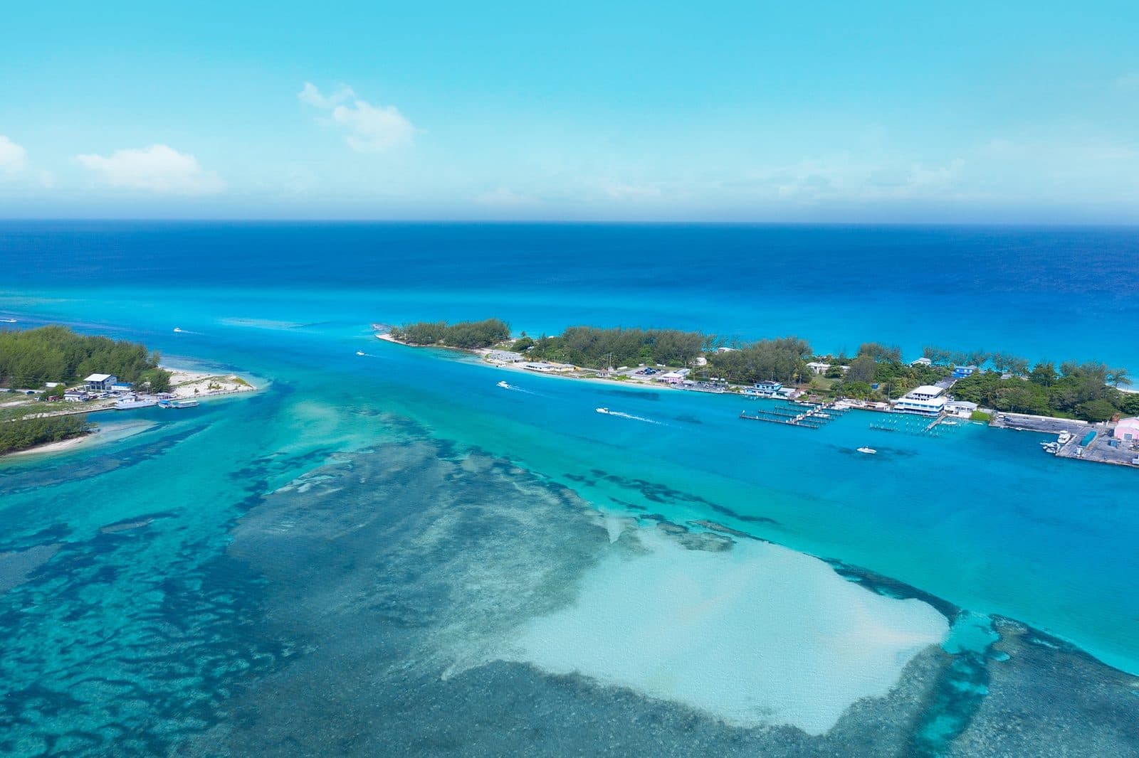
The closest Bahamian island to the United States, famous for big-game fishing, Hemingway, the Bimini Road and water a short crossing from Miami.
Small populations, few services and a great deal of empty water. Flights are infrequent, so plan these carefully, and expect to be largely on your own.
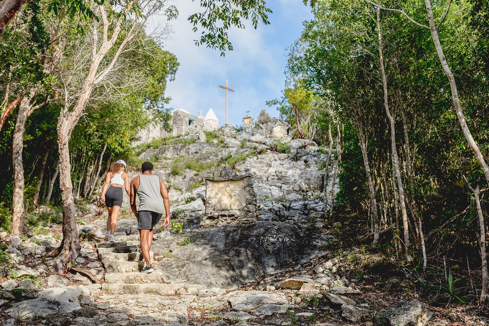
The highest point in The Bahamas, a hilltop hermitage, empty beaches and the home of rake-and-scrape music, an hour's flight from Nassau.
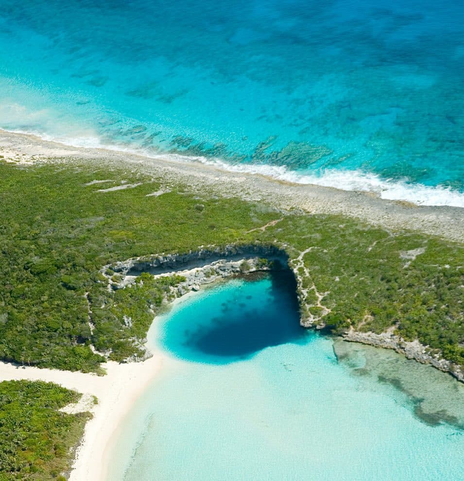
Eighty miles of contrasts: Atlantic cliffs on one side, calm shallows on the other, Dean's Blue Hole, twin hilltop churches and beaches without footprints.
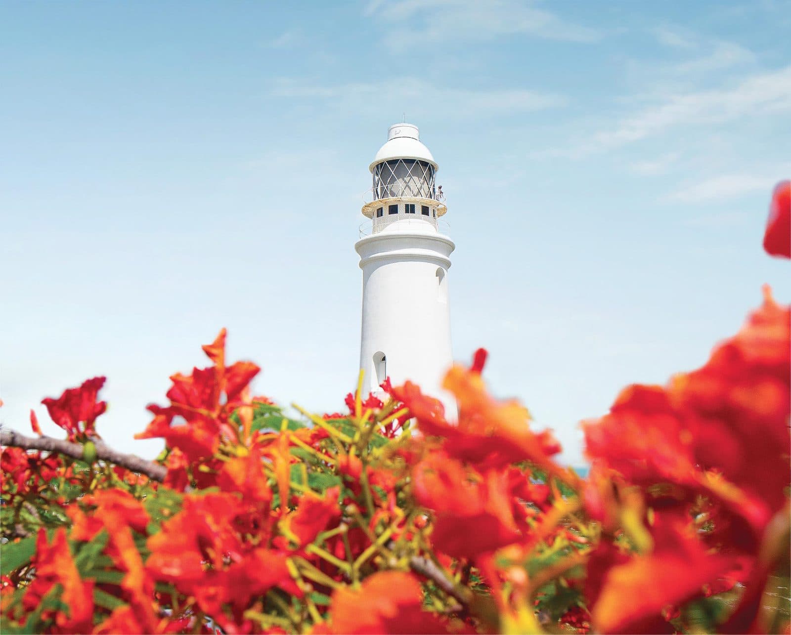
Widely held to be Columbus's first landfall in 1492, a small island of wall dives, interior lakes, a hand-wound lighthouse and one large resort.
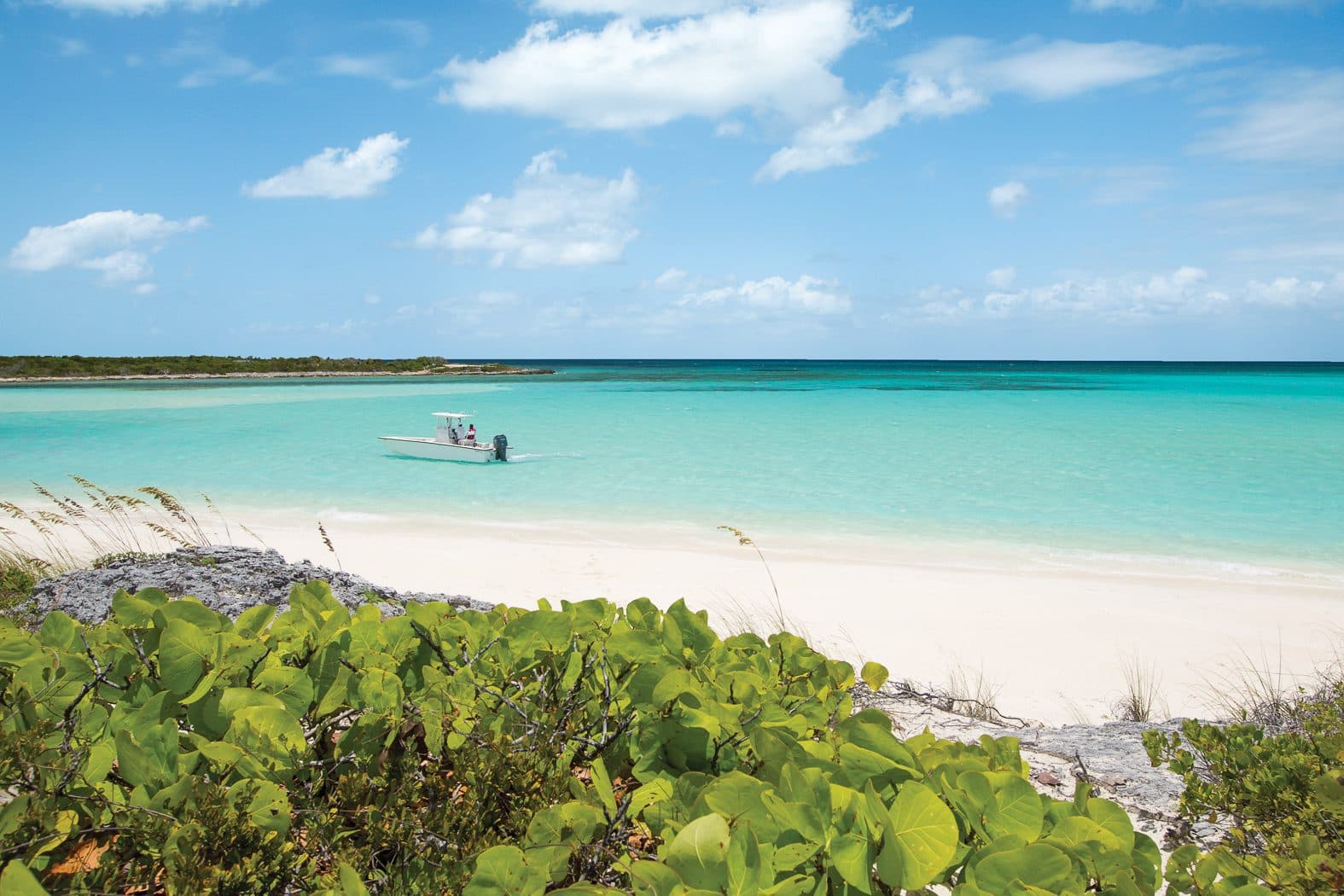
About 30 cays between Nassau and Bimini: big-game fishing from Chub Cay on the edge of the Tongue of the Ocean, and quiet beaches on Great Harbour Cay.
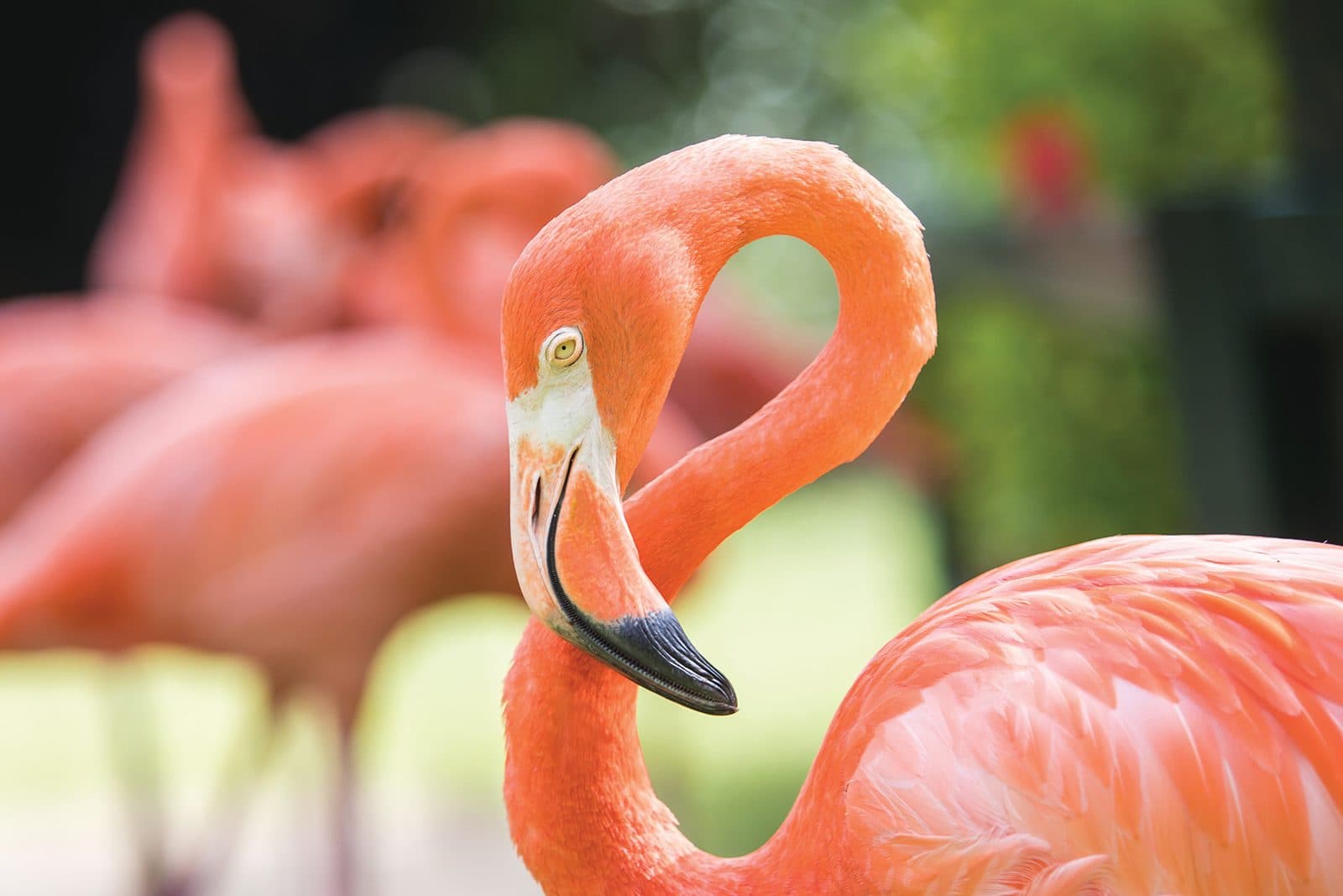
The southernmost island: a national park with tens of thousands of West Indian flamingos, a working salt company town and a hand-wound 1870 lighthouse.
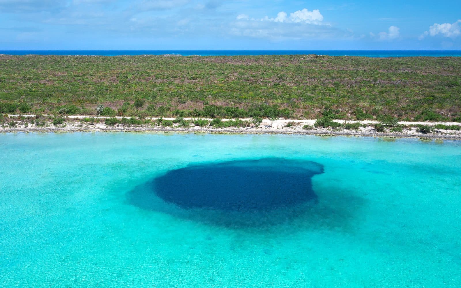
Two sparsely settled islands around a shallow lagoon: world-class bonefishing, plantation ruins, Victorian lighthouses and the bark that flavours Campari.
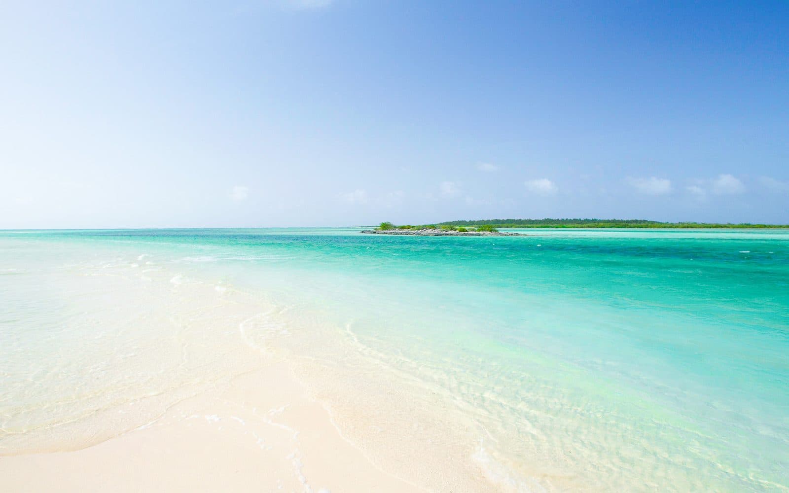
The easternmost and least visited island: three small settlements, a few hundred residents, bonefishing flats, and the only island keeping its Lucayan name.
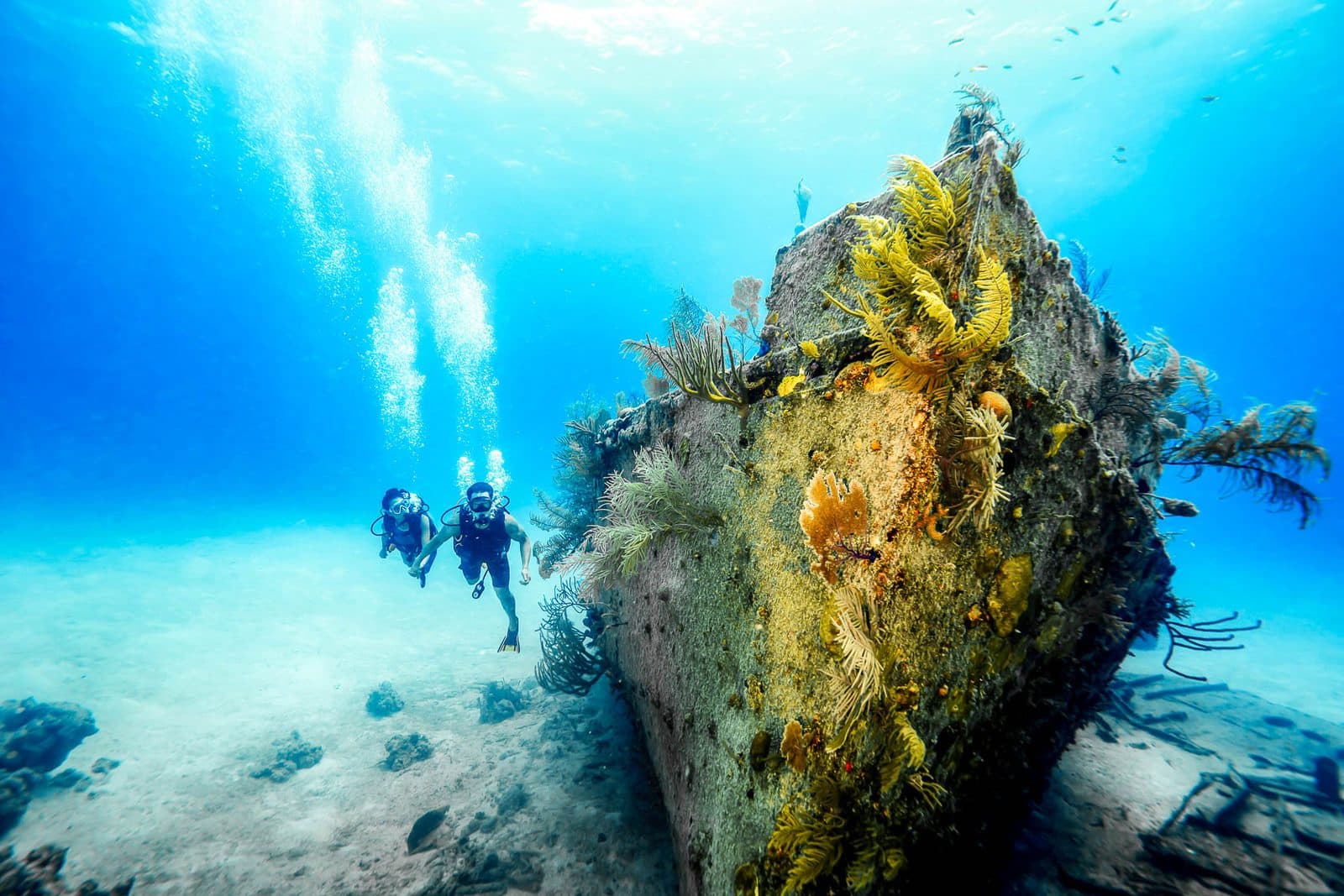
A 30-square-mile island with fewer than a hundred residents, Lucayan cave drawings, a shipwrecked Victorian warship and reefs that almost nobody dives.
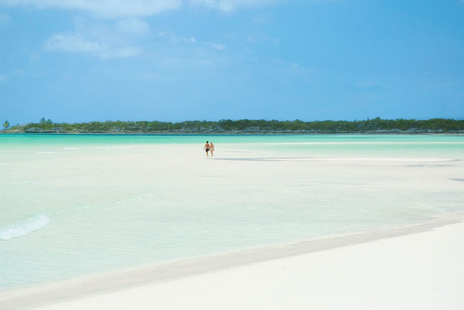
The southern end of the Jumentos Cays, with one tiny settlement, Duncan Town, a long history of salt and fishing, and a slow rebuild after Hurricane Irma in 2017.
Tell us how long you have, who is travelling and what matters most. We will suggest one or two islands and explain the trade-offs plainly.